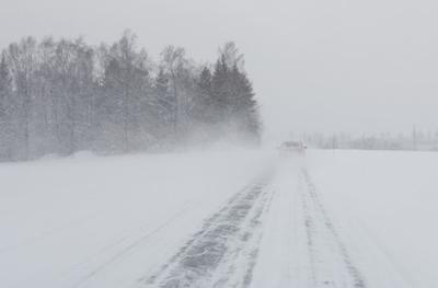
The National Weather Service has issued a blizzard warning for west central Minnesota, including Meeker County. It is in effect from 7 p.m. Wednesday through 10 a.m. Friday.
Blizzard conditions are expected with total snow accumulations of 12 to 18 inches with isolated 20-inch amounts possible. Winds could gust as high as 50 mph.
An initial band of rain, sleet, and snow is continuing to gradually shift northward through southwestern Minnesota this morning. The band is expected to transition to solely snow by the late morning as it lifts northward. A band of heavy snow will reach western and central Minnesota tonight and continue through Thursday night, tapering off in intensity gradually Friday morning. Snowfall rates of 1 to 2 inches per hour will be possible at times. Periods of mixed precipitation in the form of rain, snow, freezing rain, and sleet are expected along and south of a line from Redwood Falls, to the Saint Cloud, to Ladysmith, Wisconsin.
Travel could become nearly impossible by Thursday. The latest road conditions for Minnesota can be found at 511mn.org.